Getting Started
Beginner Hiking in Los Angeles: How to Choose Your First Route
Start with the walk you want, not the summit in someone else’s photo. Compare shade, climbing and the trip home, with Fern Dell and Franklin Canyon as starting points.
By Hobby-ist Editorial Team · 6 min read · October 3, 2026
In this story
Your first hike in Los Angeles does not have to end at a famous sign or a summit. It might end with you noticing that the city sounds different beneath a canopy of trees, or realizing that an hour outdoors was the part of the weekend you want to repeat.
The difficult part can happen before you leave: choosing between routes that all look inviting in photographs. Instead of collecting a long list of “easy hikes,” build one outing around the amount of climbing, sun and travel you want to take on. This is a planning guide based on official information, not a firsthand trail review or a guarantee that a route is open today.
Define what an easy first outing means to you
A short route is not automatically a gentle one. A steep section, uneven footing or a long exposed stretch can matter more than its mileage. Before choosing a park, write down the experience you want: a relaxed conversation, a chance to notice birds, or a little steady climbing.
For a first outing, our editorial suggestion is to favor a clear route you can shorten, with enough time left for the trip home. Decide whether you want a walking introduction to trails or an actual uphill hike. Both can be satisfying, but they make different demands on your day.
Ask yourself which detail would most likely stop you from enjoying it. If it is heat, investigate shade and the forecast. If it is uncertainty at junctions, choose a route you can trace confidently on an official map. If it is the drive, start by narrowing the part of LA you are willing to travel to.
Two places to begin your research
Fern Dell: begin with the shaded walking section
The City of Los Angeles describes Fern Dell in Griffith Park as a shady, winding trail. That makes the lower walking area a useful place to investigate if your aim is a gentle introduction rather than a summit destination. Use the official park map to identify your entrance and intended segment. Griffith Park information and official map and guide.
Do not confuse a walk within Fern Dell with continuing uphill toward Griffith Observatory. Connecting paths can turn the same starting point into a different outing. Decide where you will stop before a junction or a view tempts you into adding a climb. The map helps with orientation; use current notices and posted signs for access and restrictions.
Franklin Canyon: choose a specific route, not the whole park
The National Park Service describes Franklin Canyon’s Discovery, Berman and Hastain trails as options for novice to intermediate hikers, and identifies a reservoir loop as stroller friendly. Those descriptions cover different routes; they do not mean every path has the same grade or surface. Official Franklin Canyon overview.
If your aim is an introductory walk, investigate the reservoir area rather than automatically selecting a climb to a viewpoint. Confirm the exact path, accessible approach and current conditions for your needs. Treat an agency’s broad suitability description as a starting point for questions, not a personal guarantee.
These are two research starting points, not a ranked list of LA’s easiest trails. Neither requires you to complete every connecting path. The route you draw on the map matters more than the park name in your search results.
Compare five details before committing
- Distance: Is the number for a full loop, a round trip or one direction? Add the walk between your actual arrival point and the trail.
- Climbing: Check elevation gain and where it occurs. A short steep section may change your choice.
- Surface: Look for steps, loose material and uneven stretches. A general “easy” label does not answer a mobility question.
- Exposure: Which parts have shade, and which do not? A photograph of trees at the entrance does not describe the whole route.
- Exit: Know how to shorten the outing. A loop can commit you to more walking than an out-and-back with a clear turnaround point.
When two routes seem similar, choose the one whose return you understand better. That might mean a less dramatic view but a more relaxed first experience. You can save a complicated route for a day when route-finding itself is part of the activity you want.
Plan the whole outing, including arrival
Put the actual trail entrance in your navigation app, then identify where you are permitted to park or be dropped off. A park’s mailing address may lead somewhere different. Allow time to read parking signs and find the start without turning the approach into a race.
Work backward from when you need to leave. Reserve time for finding your way back, pauses and the walk to your vehicle or pickup point. Choose a turnaround time that leaves a comfortable daylight margin and respects any posted closing time. Do not infer trail hours from a nearby building’s hours.
If you are going with a friend, agree that either person can call the return without needing to justify it. “Let’s see how it feels” works better when it comes with a clear route and a way to stop.
Check conditions, then pack for the route
Before departure, review the forecast, heat, air quality and any fire, road or trail restrictions. For the Santa Monica Mountains, consult NPS alerts and conditions, alongside notices from the specific site’s managing agency. A general destination page is not live confirmation of access. Follow closures and posted directions, even when an older route description says otherwise.
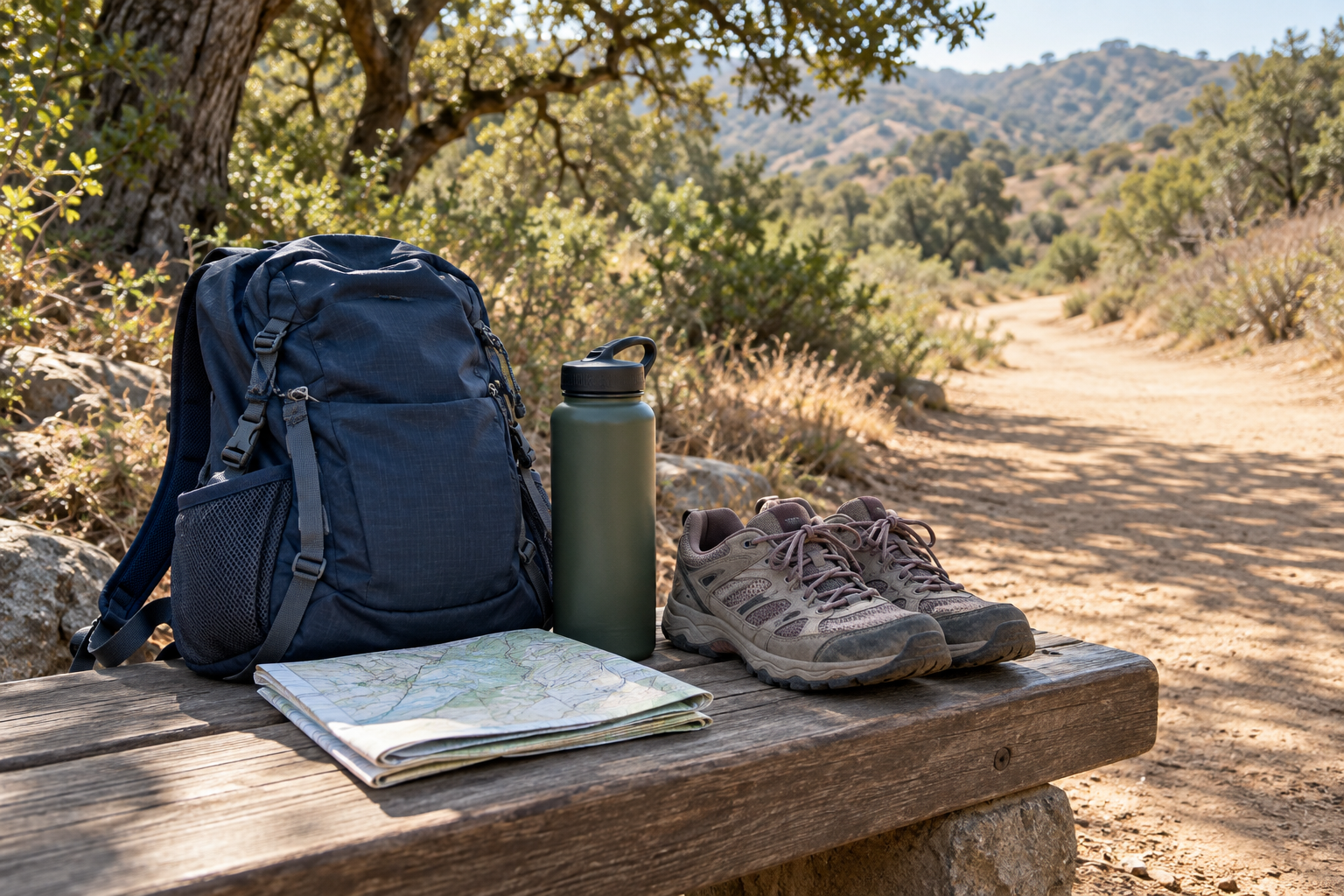
Use the NPS Ten Essentials to build a kit appropriate to the outing: navigation and backup power, water and extra food, sun protection, suitable layers, a light and first-aid supplies are among the systems to consider. Read the complete guidance and adapt it to the location; carrying emergency equipment does not permit fires where prohibited.
Comfortable footwear with traction matters more than buying an entire new outfit. Familiar shoes should still match the surface you have chosen. Carry what you need rather than assuming water, shops or phone service will be available along the path. Share your route and expected return with someone, as recommended in the NPS trip-planning guide.
Let the first walk tell you what to do next
Give yourself something small to notice: the moment traffic becomes quieter, the shape of a tree’s shadow or the difference between two sections of trail. Stay on designated paths to look, and leave plants, rocks and wildlife undisturbed. Keep enough attention on your surroundings to recognize your return route.
Afterward, record three details: how the climbing felt, whether you had enough time and what made you want to pause. Those notes are more useful for choosing your second hike than a photograph of someone else’s summit.
If the best part was the shaded stretch, choose another shaded walk. If you enjoyed climbing and returned with energy, investigate a slightly different route next time. The first outing has done its job when it gives you a reason to go outside again.
Sources & verification
Information checked: 2026-10-03
- https://www.laparks.org/griffithpark/
- https://recreation.parks.lacity.gov/griffithpark/pdf/GriffithParkInfo.pdf
- https://www.nps.gov/places/franklin-canyon-park.htm
- https://www.nps.gov/samo/planyourvisit/conditions.htm
- https://www.nps.gov/articles/10essentials.htm
- https://www.nps.gov/subjects/healthandsafety/trip-planning-guide.htm